Several access points make it possible to spend one or several days hiking the Coastal Trail. Access points are located at: Agawa Bay, Sinclair Cove, Katherine Cove, Coldwater River, Orphan Lake Trail and Gargantua Road. The Park Map is recommended for those hiking the coast.
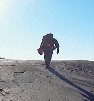
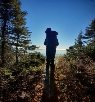
The most challenging and demanding trail in the park, the Coastal Trail takes you along the high cliffs and rocky beaches of Lake Superior. The trail extends from Agawa Bay to Chalfant Cove.
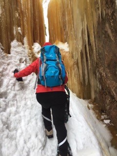
The trail ascends and descends over cliffs and rocky outcrops and crosses beaches of boulders and driftwood. Use extreme caution when hiking this difficult terrain. The rocks can be very slippery, especially when wet with dew, fog or rain. Windblown trees may obstruct the trail.
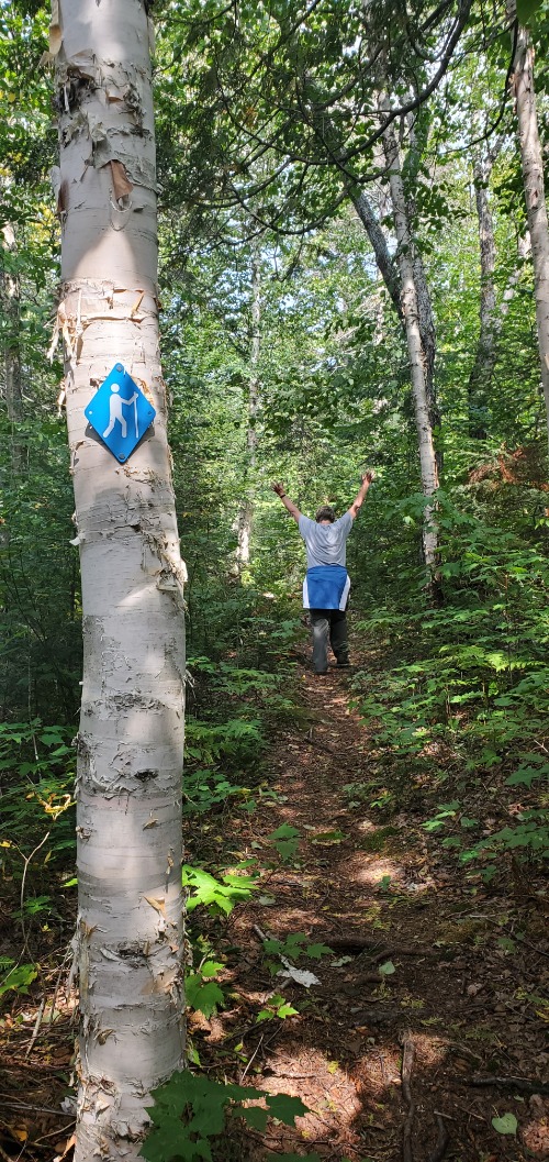
Blue, diamond-shaped symbols mark where the trail enters forested areas. Rock cairns mark exposed sections. Generally, the trail hugs the coastline. If you lose the trail, continue along the shore and eventually you will find the trail again.
Gargantua is the main access point for the Coastal Trail. The 14 km (8.7 mi) gravel road from Highway 17 to the parking lot at Lake Superior is rough so allow 45 minutes.
Very Demanding; 65 km (40 mi) linear; 5 - 7 days (entire trail)
 Access the trail from Rabbit Blanket Lake Campground. While much of the trail is easy, there are sections of uneven footing and some rock hopping to cross the river. A variety of ferns and moisture-loving plants grow on the cool damp forest floor along the river.